The recognition and protection of indigenous territories across the Indonesian archipelago remain alarmingly insufficient, as the exclusion of ancestral domain maps from the central government’s One Map Policy continues to fuel tenurial conflicts and the large-scale dispossession of traditional living spaces. Despite decades of advocacy, the gap between community-led documentation and formal state recognition has left millions of hectares of indigenous land vulnerable to overlapping claims by extractive industries and state-sponsored development projects. According to Kasmita Widodo, Head of the Ancestral Domain Registration Agency (BRWA), the concept of "knowledge sovereignty" cannot be realized as long as the state fails to fully acknowledge indigenous territories as the primary basis for spatial planning and development policy.
The struggle for land rights is not merely a technical or administrative issue; it is a battle for the survival of cultures that have stewarded Indonesia’s biodiversity for centuries. Indigenous leaders and environmental advocates argue that all instruments of a living space—ranging from landscape maps and oral histories to collective memories and traditional land-use practices—must be treated as the foundational pillars of national policy rather than supplementary academic documents. The persistent neglect of indigenous data has direct implications, manifesting in the systematic erosion of rights, the seizure of ancestral domains, and the escalation of agrarian violence.

The Statistical Gap and the Failure of Integration
Data provided by the BRWA reveals a staggering disparity between the efforts of indigenous communities to map their lands and the state’s willingness to codify those maps into law. Out of approximately 33.6 million hectares of indigenous territories that have been mapped through participatory methods across Indonesia, only a meager 2.4 million hectares—roughly 7%—have received formal certification or recognition through regional regulations (Peraturan Daerah). This leaves the vast majority of indigenous lands in a state of legal limbo, categorized only as "registered" or "under verification" without the protection of the law.
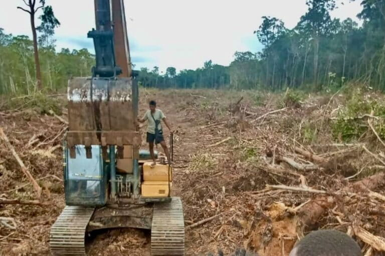
The consequences of this administrative vacuum are severe. BRWA data indicates that more than 7.3 million hectares of indigenous territory currently overlap with corporate concessions, primarily in the mining, logging, and palm oil sectors. This overlap is a direct result of the government’s One Map Policy (Kebijakan Satu Peta), which aims to synchronize various thematic maps into a single database but has historically excluded indigenous maps in favor of industrial and administrative boundaries. Without the inclusion of ancestral domains, the "One Map" remains an incomplete and exclusionary tool that facilitates land grabs under the guise of legal development.
The Onslaught of Extractive Industries and National Strategic Projects
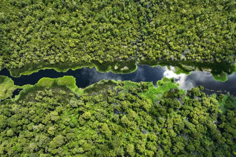
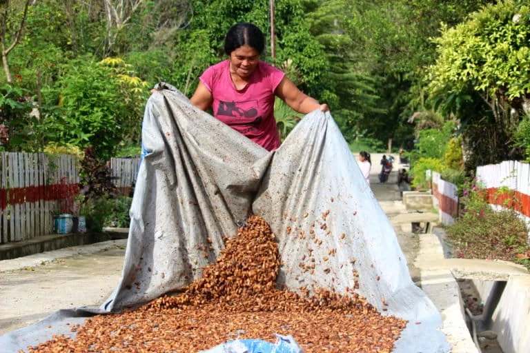
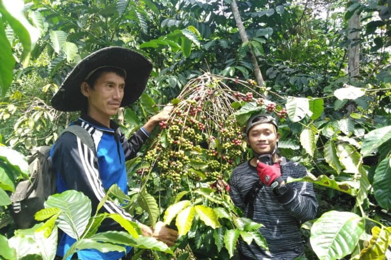
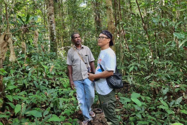
The most immediate threat to indigenous living spaces comes from the expansion of extractive industries. In Luwu Timur, South Sulawesi, the Wija To Cerekang indigenous community finds itself besieged by the encroachment of mining and plantation interests. Luckyto Siabeng, a representative of the To Cerekang youth, notes that the forest is not a "empty space" to be exploited but a vital life-support system that has provided welfare for generations. He argues that the government consistently prioritizes investors over the rights of the communities who have preserved the ecological integrity of the region.
The narrative of "modernization" is often used to justify the clearing of forests for corporate gain, yet this progress frequently comes at the expense of the very people who act as the final defense against ecological collapse. For the To Cerekang, the forest represents a biocultural bond between humans, ancestors, and traditional knowledge. When this bond is severed by industrial deforesting, the resulting environmental degradation, health crises, and economic inequality create a cycle of poverty that is difficult to break.
A similar pattern is unfolding in North Kalimantan, where the Dayak Lundayeh people in the border regions of Malinau and Nunukan are facing the dual pressure of administrative ego and National Strategic Projects (PSN). Paulus Belapang, Chairman of the Dayak Lundayeh Customary Institution, points out the irony of indigenous communities being accused of forest destruction. Despite practicing sustainable, cyclical rotational farming for centuries, they are often scapegoated as the cause of forest fires and haze.
"We are constantly cornered. They call us arsonists and encroachers, yet the fact is we have maintained these forests for generations," Belapang stated. The expansion of large-scale corporate activity in North Kalimantan has pushed traditional hunting grounds further away, made medicinal plants scarce, and contaminated vital river systems. Furthermore, the imposition of new village administrative boundaries, often drawn without consulting customary leaders, has resulted in the "administrative annexation" of ancestral lands that have been recognized by neighboring tribes for hundreds of years.
Coastal Dispossession and the Erosion of Traditional Conservation
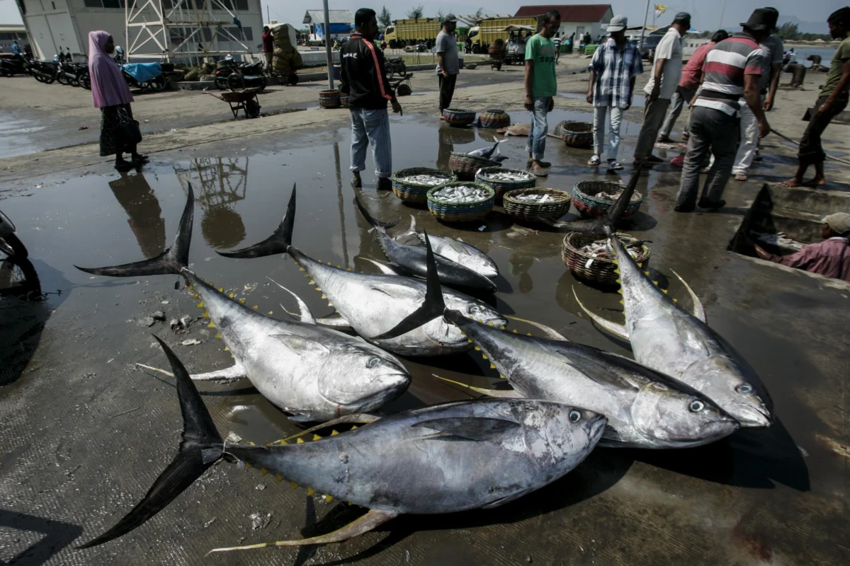
The crisis of recognition extends beyond the highlands to Indonesia’s vast coastlines and small islands. In Maluku Tengah, specifically on Nusalaut Island, the Negeri Akoon indigenous community is struggling against the "blue economy" expansion, which includes nickel investment, corporate tourism, and state-mandated conservation zones that ignore the principle of Free, Prior, and Informed Consent (FPIC).
Linda Marwa, an indigenous youth activist from Akoon, explains that the loss of access to the sea and forests leads to structural poverty and a crisis of identity. For centuries, the people of Maluku have managed their marine resources through "Sasi," a traditional system of temporary harvesting bans that allows ecosystems to regenerate. While the state often struggles to enforce marine conservation, the Sasi system has proven highly effective in maintaining biodiversity. However, when the state or corporations seize these waters, the community loses not only its source of protein but also its ritual spaces and the ability to practice its ancestral knowledge.
The Role of Participatory Mapping and Spatial Literacy
To bridge the gap between traditional knowledge and state bureaucracy, experts emphasize the importance of participatory mapping. Iqbal Putut, Head of the Geography Undergraduate Program at the University of Indonesia, argues that modern technology must be integrated with local wisdom on equal footing. Since indigenous spatial literacy is often rooted in oral tradition and historical markers, participatory mapping serves as a "translation" tool, converting ancestral boundaries into a visual and digital format that the state bureaucracy can—and must—understand.
"A map is not just a drawing; it is a political and legal instrument to recognize the rights of indigenous peoples," Putut said. This sentiment is echoed by Tely Dasaluti of the Ministry of Marine Affairs and Fisheries (KKP), who acknowledges that the state’s role should be to legalize pre-existing rights rather than "creating" new ones. The KKP has begun employing anthropologists to better understand the socio-cultural relationships communities have with the sea, aiming to create a more transparent and inclusive database for marine spatial planning.
De-colonizing Research and Strengthening Legal Frameworks
A significant point of contention raised by indigenous advocates is the role of the academic community. For too long, indigenous groups have been treated as mere "objects" of research. Deby Rambu Kasuatu, an indigenous woman from Central Sumba, criticized the exploitative nature of some academic practices, where researchers extract data and local knowledge only to leave the community without any tangible benefit or influence over how that knowledge is used.
"There must be a decolonization of research that returns the control of knowledge to indigenous peoples as the rightful owners," Kasuatu asserted. She called for indigenous people to be involved as active members of research teams from the outset, ensuring that the link between knowledge, living space, and future generations remains intact.
In response to these systemic issues, the government is reportedly working on several legislative fronts. Sjamsul Hadi, Director of Belief in Almighty God and Indigenous Peoples at the Ministry of Culture, noted that Law No. 5 of 2017 regarding the Advancement of Culture is being used to frame traditional knowledge as a protected right. Furthermore, a draft Presidential Regulation (Raperpres) on the Cultural Rights of Indigenous Peoples is currently being formulated, alongside the development of the Sidakerta BKMA database to inventory communal cultural assets.
Implications and the Path Forward
The failure to recognize indigenous territories is not just a social justice issue; it is a significant hurdle to Indonesia’s climate goals. Indigenous-managed lands are statistically shown to have lower rates of deforestation and higher levels of biodiversity compared to state-managed or corporate-controlled areas. By failing to provide legal certainty to these communities, the Indonesian government is undermining its own environmental commitments and risking the permanent loss of unique biocultural landscapes.
The path forward requires more than just "consultation." It demands the full integration of indigenous maps into the national spatial plan and the passing of the long-stalled Indigenous Peoples Bill (RUU Masyarakat Adat), which would provide a comprehensive legal umbrella for the recognition of customary rights. As long as the state views indigenous lands as "empty" or "available" for exploitation, the cycle of conflict, environmental degradation, and cultural erasure will continue. True sovereignty for Indonesia can only be achieved when the sovereignty of its original inhabitants is respected, mapped, and protected by the law of the land.