 Nila Kartika Wati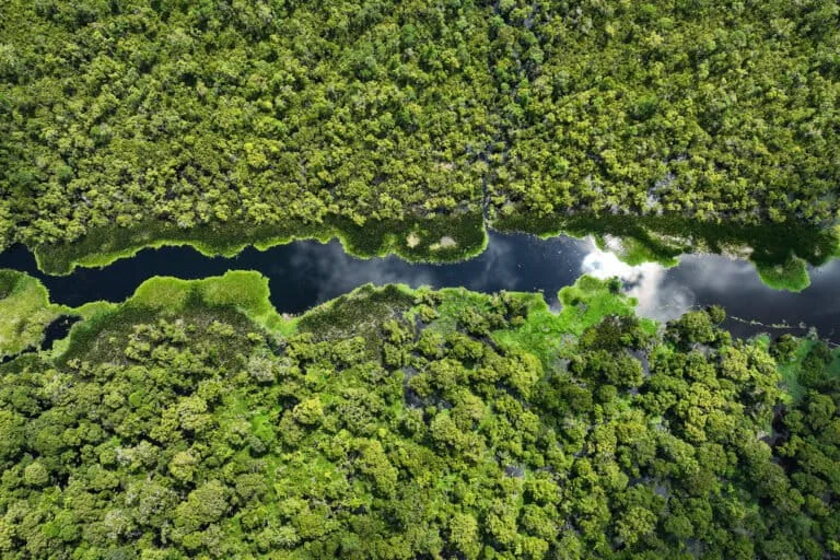
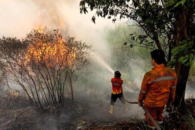
The Indonesian government has issued a stern mandate to all land concession holders to significantly bolster their fire mitigation efforts, with a specific focus on the "rewetting" of peatland ecosystems as the nation braces for an abnormally long dry season fueled by the El-Nino climate phenomenon. The Ministry of Environment and the Environmental Management Agency (KLH/BPLH) have set an ambitious target of "zero fires" within corporate concessions, emphasizing that the protection of peatlands is not merely about disaster prevention but is a critical pillar of Indonesia’s broader climate goals and carbon sequestration strategy.
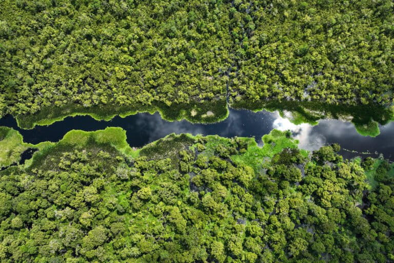
Minister of Environment and Head of the Environmental Management Agency, Jumhur Hidayat, underscored the gravity of the situation during a high-level coordination meeting on Peatland Fire Prevention and Anticipation in Jakarta. According to Hidayat, peatlands are invaluable ecological assets that store significantly more carbon than standard tropical forests. Protecting these areas from desiccation is essential to maintaining the integrity of the nation’s environmental services. The government’s strategy hinges on a rigorous "rewetting" protocol, which involves maintaining high water levels in peat domes to prevent the organic soil from turning into a highly flammable fuel source.
The Science of Peatland Vulnerability and the 80-Centimeter Threshold
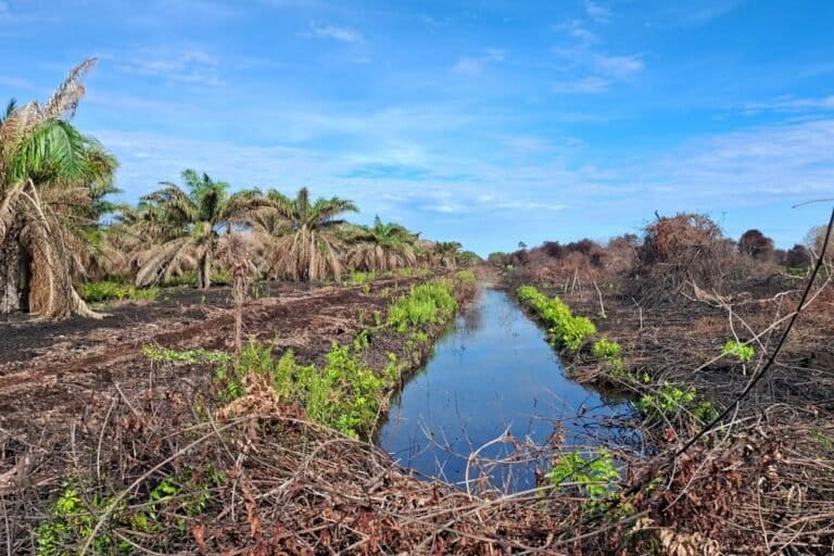
Peatlands are unique ecosystems characterized by waterlogged organic matter. When these lands are drained—often for agricultural or plantation purposes—the organic material dries out, creating a subsurface fuel that can burn for weeks or months, releasing massive quantities of carbon dioxide and toxic haze. Sigit Reliantoro, Deputy for Environmental Management and Sustainable Natural Resources at KLH/BPLH, explained that the primary indicator of fire risk is the Groundwater Level (TMAT).
Data from the Ministry indicates that when the TMAT drops below 80 centimeters from the surface, the peat enters a "highly critical" state. At this depth, the upper layers of the peat become completely dry and act as a tinderbox. The government’s current risk analysis methodology combines data from approximately 10,000 monitoring points with real-time satellite hotspot detection. Areas where a significant drop in water levels coincides with emerging hotspots are immediately classified as "Very High Risk" zones, triggering mandatory intervention.
As of early July 2026, several provinces have already entered a state of high alert. In Sumatra, Riau and South Sumatra are facing critical conditions. Riau, in particular, has seen a sharp decline in water levels, with dozens of monitoring points recording "hazardous" levels. Specific hotspots requiring immediate attention have been identified in Pelalawan, Indragiri Hilir, Bengkalis, Dumai, and Rokan Hilir. In West Kalimantan, the Kubu Raya Regency has emerged as a primary focus after recording over 1,800 hotspots in the first half of the year.
Regional Breakdown: A Landscape of Rising Heat
The 2026 fire season has shown a worrying trend of rapid expansion. In Riau, 80 monitoring points are currently classified as "vulnerable," with one already reaching "extremely vulnerable" status. Between January and July, the province has seen a steady increase in medium-confidence hotspots. Pelalawan remains a high-priority area due to its 13 high-risk TMAT points.
South Sumatra is also under a "High Alert" status. The Ogan Komering Ilir (OKI) regency is the primary concern, with 27 points showing significant drying. The situation in Kalimantan is equally precarious. In West Kalimantan, the Landak and Bengkayang regencies have seen water levels drop by an average of 85 centimeters, surpassing the safety threshold. Central and South Kalimantan are not far behind, with nearly 100 hotspots detected in early July, including high-intensity fires in Sukamara and Lamandau.
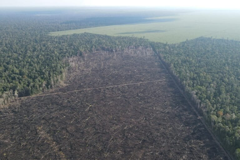
One of the most concerning developments is the expansion of fire risks to Indonesia’s easternmost regions. In South Papua, specifically in Mappi and Merauke, over 1,200 hotspots have been detected. Activists point out that these fires are often concentrated in areas designated for National Strategic Projects (PSN), including large-scale food estate and energy developments. This suggests that the rapid transformation of the Papuan landscape is significantly increasing the region’s vulnerability to fire.
The "Blank Spot" Crisis: A Gap in Monitoring
Despite the government’s focus on data-driven mitigation, a significant hurdle remains: the lack of comprehensive monitoring infrastructure in rural peatland villages. Sigit Reliantoro noted that many "blank spots" exist where no TMAT monitoring equipment is installed, leaving large swaths of peatland unmonitored.
In Riau, for instance, 512 out of 670 peatland villages lack monitoring systems. In West Kalimantan, 295 out of 366 villages remain "invisible" to the national monitoring network. This lack of data makes it difficult for authorities to predict fires in community-managed lands or forest buffer zones. While the private sector has committed to supporting rewetting in 73 villages through "water sharing" programs and canal maintenance, the vast majority of peatland villages remain vulnerable without real-time hydrological data.
Legal Enforcement and Corporate Accountability
The Ministry’s law enforcement wing, Gakkum LH, has signaled a "zero tolerance" policy for corporations that fail to prevent fires within their concessions. Irjen Pol Rizal Irawan, Deputy for Environmental Law Enforcement, stated that the government would not hesitate to impose administrative, civil, or criminal sanctions.
The financial stakes are high. Administrative fines for negligence can range from tens to hundreds of billions of rupiah, depending on the extent of the damage. In 2025, the Ministry successfully secured court rulings for civil penalties exceeding 500 billion IDR from companies involved in previous fire seasons. Currently, four major corporations are under investigation for peatland fires occurring in the first half of 2026.
Several companies, including PT Arara Abadi (a subsidiary of APP Sinarmas) and PT TH Indo Plantation (THIP), have touted their mitigation efforts. These companies claim to use advanced "water sharing" systems, where water is diverted from higher-elevation reservoirs to keep lower-lying peatlands moist. They have also reported the installation of hundreds of canal blocks and automated IoT sensors to monitor water levels 24/7. However, environmental groups remain skeptical.
Civil Society Perspectives: Infrastructure vs. Ecology
While the government and corporations focus on the number of canal blocks built—with over 34,000 units reportedly constructed by 314 companies—environmental organizations like Pantau Gambut argue that these figures do not tell the whole story. Wahyu Perdana, a spokesperson for Pantau Gambut, highlighted a significant gap between administrative achievements and ecological reality.
A study conducted by the group found that 70% of the canal blocks monitored via satellite and field visits were in a state of disrepair. Many were constructed from perishable materials like wood and bamboo and had not been maintained. Consequently, 52% of the intervention sites still showed water levels below the safety threshold, despite the presence of "restoration" infrastructure.
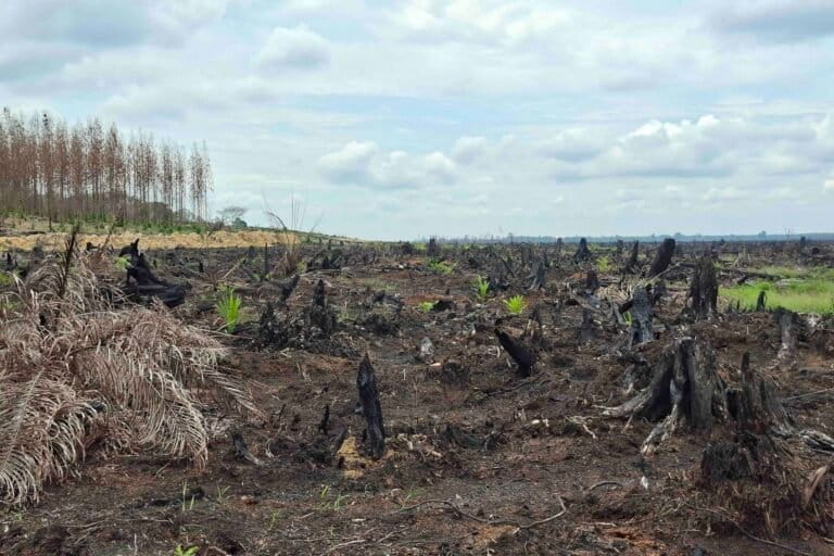
Furthermore, analysis of land-use changes after fires reveals a grim picture. Between 2015 and 2019, only about 1% to 3% of burned peatlands returned to their natural forest state. Instead, 54% of these areas were converted into monoculture plantations, primarily oil palm, while 41% remained degraded scrubland. Activists argue that unless the root causes of peat drainage are addressed and law enforcement is applied consistently to repeated offenders, the cycle of fire will continue.
Analysis of Implications and Future Outlook
The 2026 fire season is a litmus test for Indonesia’s revised peatland management regulations. The reliance on "rewetting" via canal blocking is a necessary short-term fix, but the long-term sustainability of these measures is in question. The "blank spots" in monitoring and the high failure rate of existing infrastructure suggest that the current approach may be more reactive than preventative.
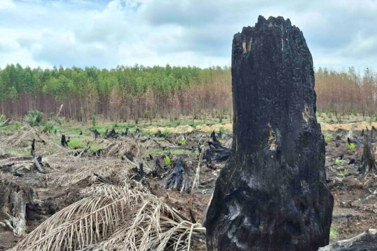
Moreover, the intersection of National Strategic Projects and fire hotspots in Papua indicates a potential new frontier for haze and carbon emissions. As Indonesia seeks to balance economic development with its climate commitments, the management of its 24 million hectares of peatland remains its most volatile challenge.
The "Godzilla El-Nino" predicted for the latter half of 2026 could exacerbate these issues. With over 107,000 hectares already burned by July—a nearly twofold increase from the first quarter of the year—the pressure on the Ministry of Environment to deliver on its "zero fire" promise is immense. For the residents of Riau, Kalimantan, and now Papua, the effectiveness of these rewetting strategies is not just a matter of environmental policy, but a matter of public health and survival against the encroaching haze.